OfflineMaps provides you with access to a comprehensive selection of maps, ensuring you never get lost, no matter where your adventures take you. With a commitment to your privacy, OfflineMaps boasts **no advertisements, no data sharing or monetization, no analytics, and no third-party libraries**. Say goodbye to waiting for maps to load—All-In-One OfflineMaps ensures that once a map is displayed, it's stored and remains accessible instantly, even without a network connection.
- Want more than just roads on your maps? OfflineMaps has you covered with a variety of options to suit your needs.
- Heading to areas with poor network coverage? No worries, your maps will stay available offline.
- Traveling abroad? Navigate confidently without fear of getting lost.
- Concerned about data usage? OfflineMaps helps minimize your data consumption.
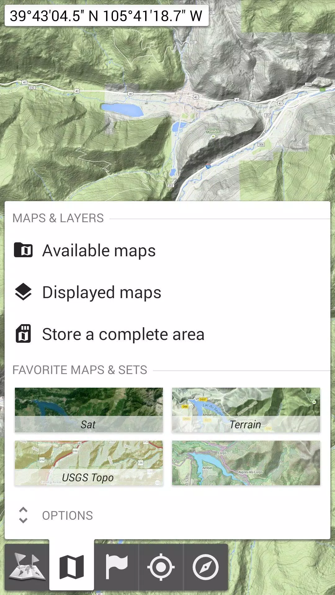
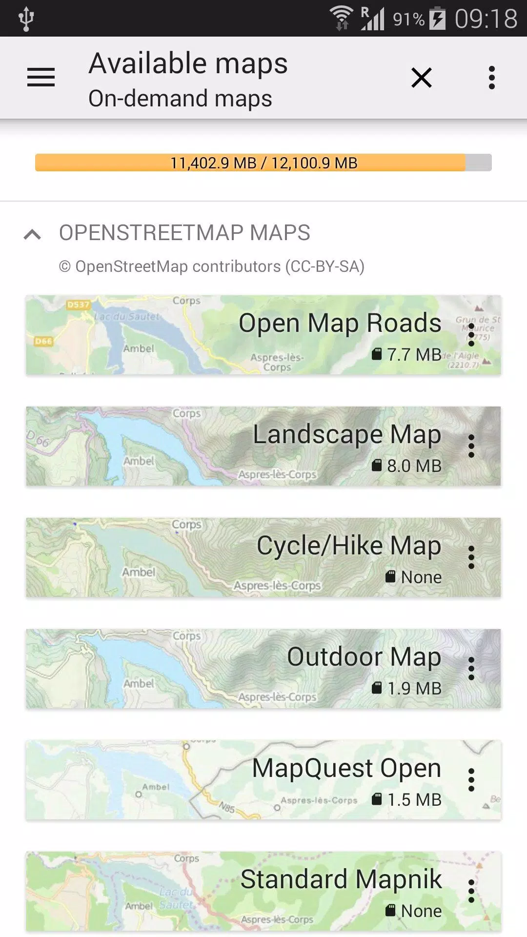
★★ Maps ★★
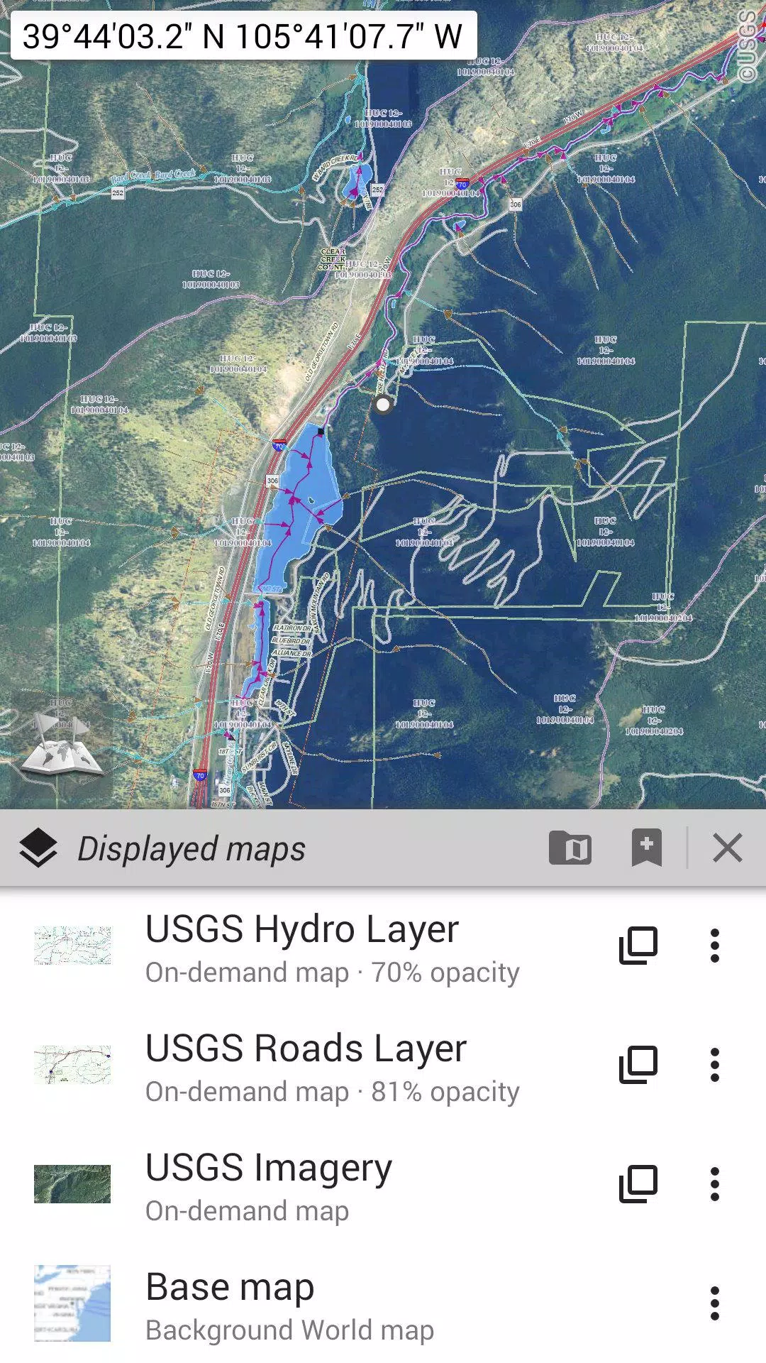
Explore an extensive collection of maps, from classic road maps and topographic maps to aerial (satellite) maps. Enhance your experience with various layers that can be overlaid on any map, including OpenStreetMap (Roads, Topo), USGS National Map (Hi-res topo, Aerial imagery), and Worldwide Military Soviet topo maps, among others.
- All maps can be layered with precise opacity control for a customized view.
- Select and store large areas with just a few clicks.
- Manage your stored map space easily, with the option to delete as needed.
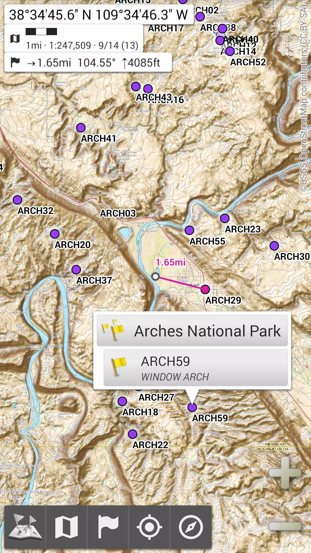
★★ Display, Store, and Retrieve Unlimited Placemarks ★★
Enhance your maps by adding various items such as waypoints, icons, routes, areas, and tracks. Manage these effortlessly with the powerful SD-Card Placemarks Explorer.
★★ On-Map GPS Location & Orientation ★★
Your real-time location and direction are clearly shown on the map, which can be rotated to align with your actual orientation (depending on your device's capabilities). Easily toggle this feature on or off to conserve battery life.
Additional features include:
- Metric, imperial, and hybrid distance units.
- GPS Latitude/Longitude and various grid coordinate formats (UTM, MGRS, USNG, OSGB Grid, Irish Grid, Swiss Grid, Lambert Grids, DFCI Grid, QTH Maidenhead Locator System, and more).
- Import capabilities for hundreds of coordinate formats from spatialreference.org.
- On-map grid display for enhanced navigation.
- Full-screen map view for an immersive experience.
- Multi-touch zoom for easy map navigation.
★★ Need More? ★★
For the ultimate outdoor experience, consider AlpineQuest Off-Road Explorer, the complete outdoor solution built on All-In-One OfflineMaps. It includes a powerful GPS Track Recorder and more. Discover it at AlpineQuest.net.