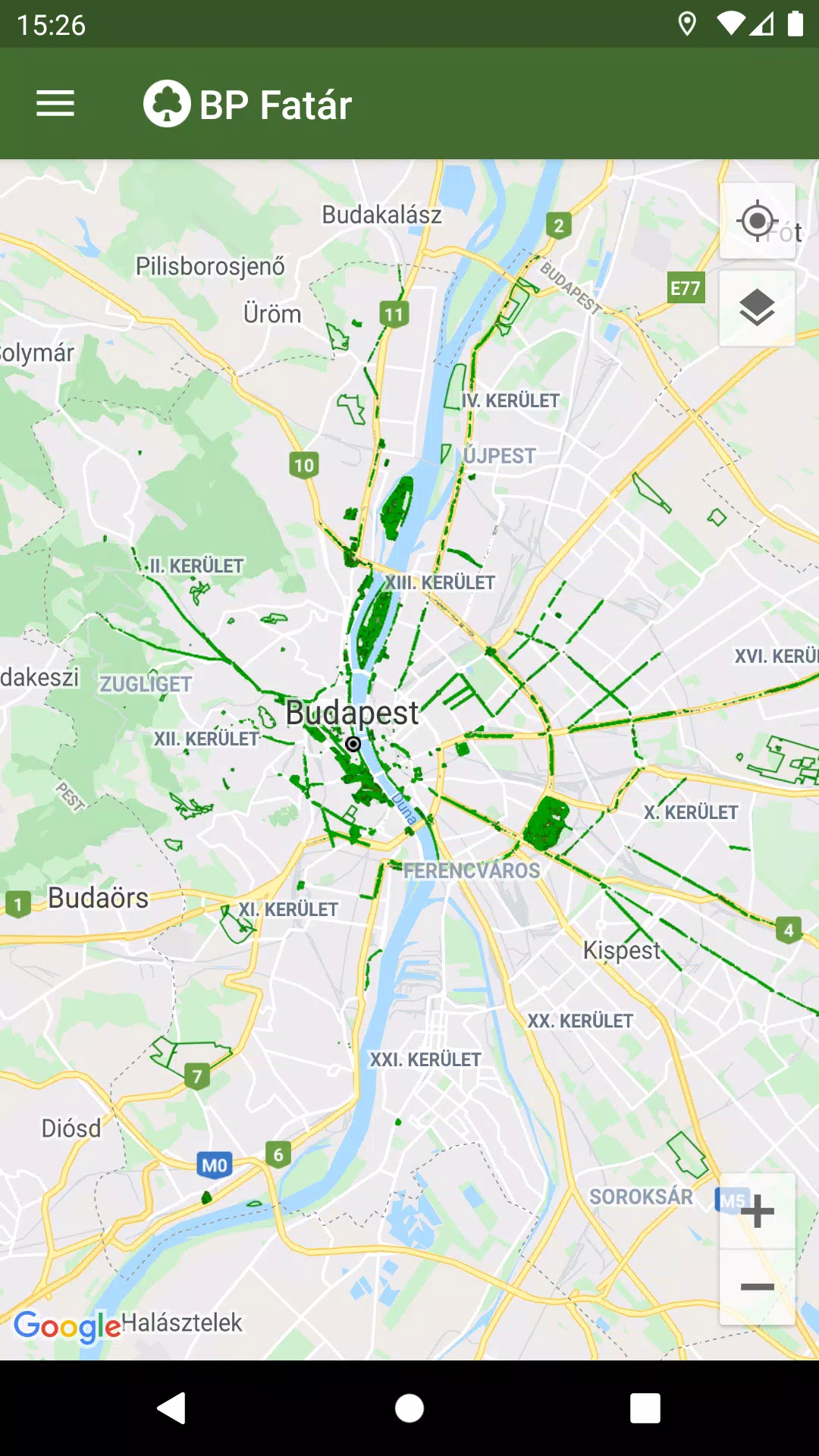
Discover the comprehensive tree and park cadastral services offered by the MAIN GARDEN through the BP Fatár application. This user-friendly tool allows you to access the public tree and park cadastre managed by FőKERT, enhancing your understanding and interaction with green spaces in Budapest.
In addition to the FőKERT cadastre, the BP Fatár application also showcases cadastres from several district municipalities, including:
- I. district municipality
- VI. district municipality
- X. district municipality
- XI. district municipality
- XIII district municipality
- XIV. district municipality
- XVIII district municipality
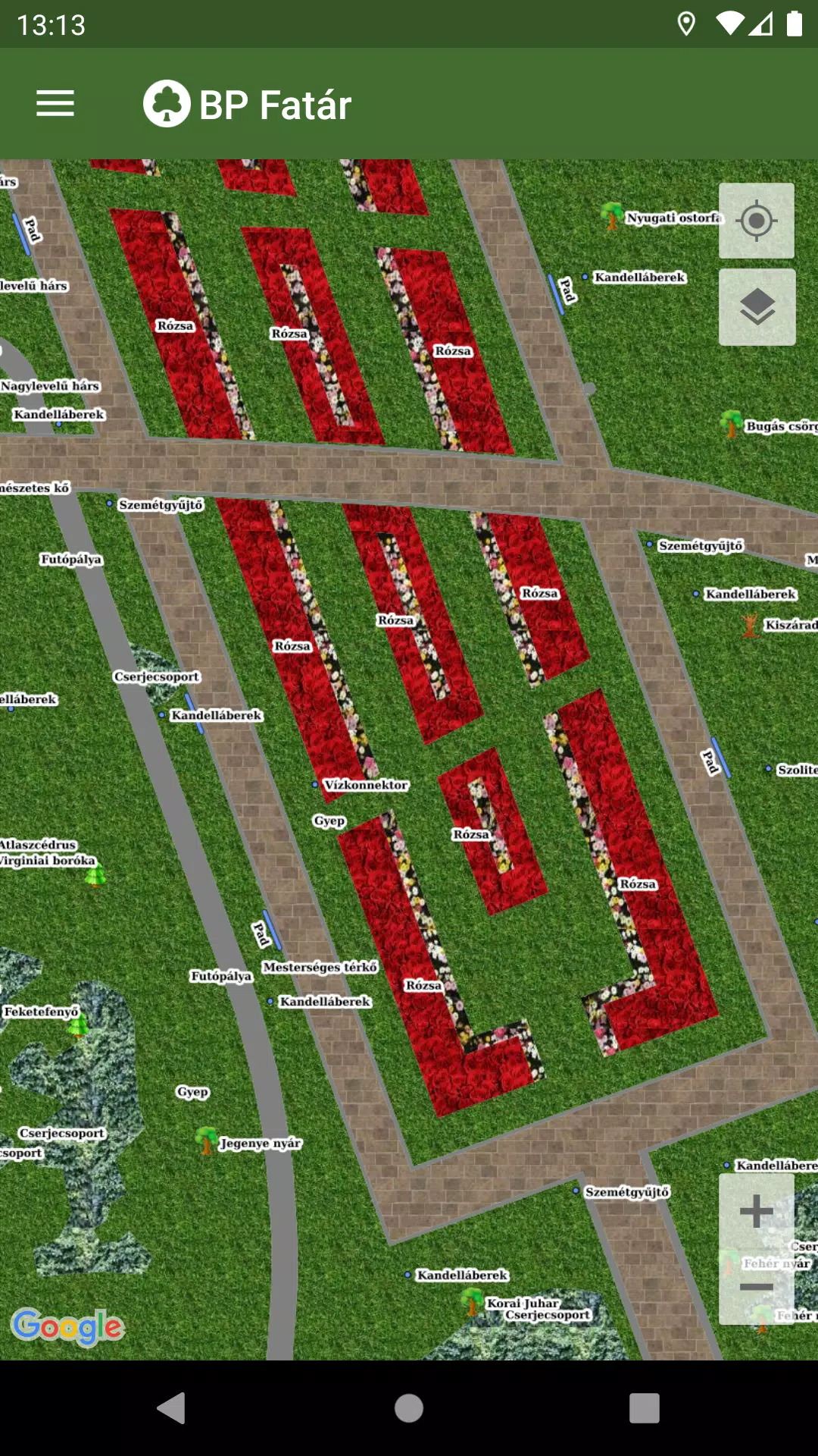
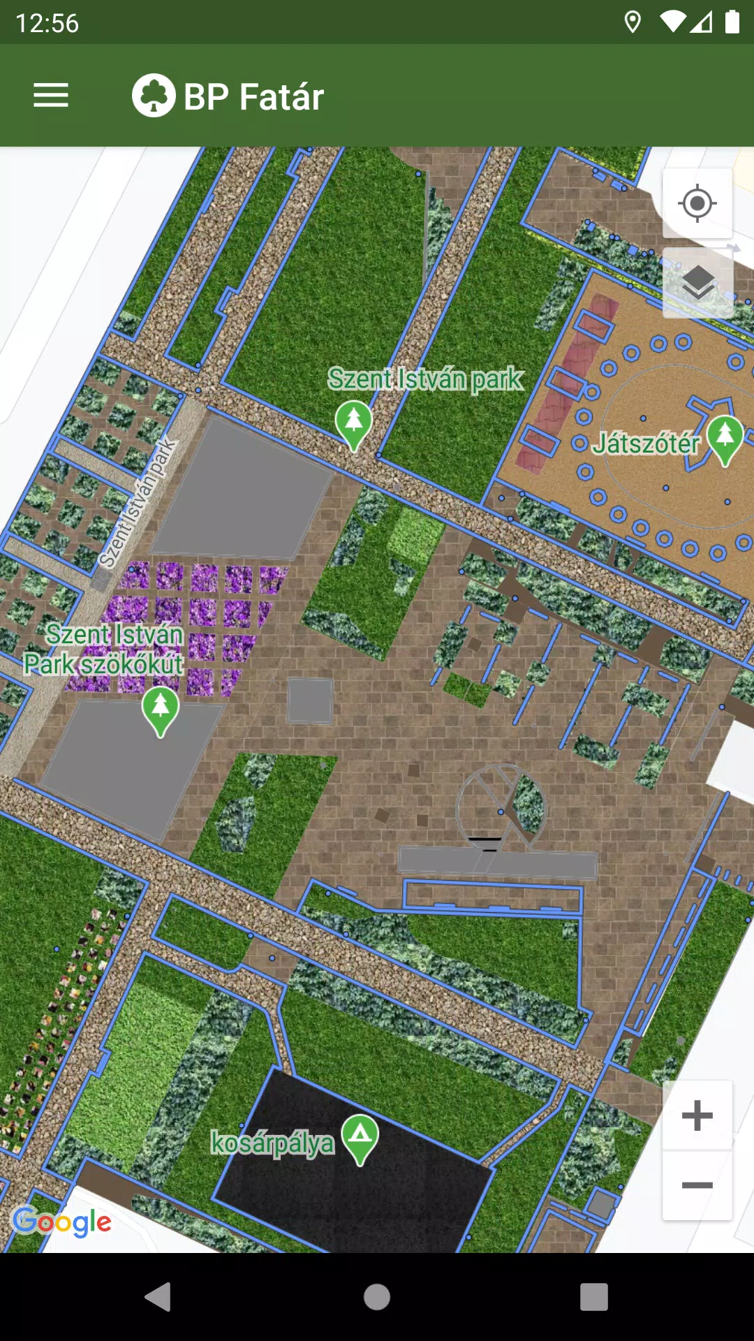
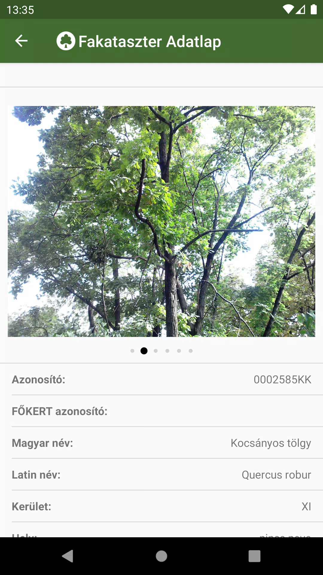
To explore these cadastres, simply navigate to your area of interest on the map. By clicking on the points, lines, or surfaces that represent cadastral elements, you can access detailed data sheets. These sheets provide in-depth information about the selected elements, complete with accompanying photos to enhance your understanding.
The BP Fatár application is equipped with a robust search engine to facilitate easy navigation:
- Utilize the tree scanner to search for specific tree species using either Hungarian or Latin names.
- Browse through categories arranged in groups within the park cadastre for a more structured search.
Both search methods will display the locations of all relevant cadastral elements on the map, making it simple to find what you're looking for.
If you come across any issues, such as a damaged tree or bench, you can report these directly to the data manager's employees. Just click the "Error report" button on the data sheet of the affected element to initiate the process.
What's New in the Latest Version 1.5.2
Last updated on Oct 20, 2024
Bug fixes.